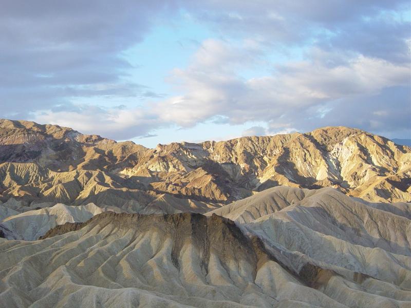
Adventurer Todd Carmichael continues his preparation for his solo and unsupported double traverse of Death Valley, which is scheduled to get underway in just a few weeks time. Over the course of the expedition, he’ll cover more than 400 miles through some of the harshest terrain on the planet, in the hottest and driest place in North America no less. And now, ahead of his departure, Todd has decided to share his route with us, so we can see his intended path.
In order to check out the route, you’ll need a copy of Google Earth, which is an amazing piece of software that you can download here. Go ahead! It’s free after all, and you probably should have it installed already anyway. Once you do have it installed, you can import Todd’s route from a file that you can download here. You can also add the route to your GPS unit, just in case you want to follow it yourself, by using the file available here. (Note: the first file should download automatically when you click on it, the second one may require you to right-click and “save as”)
Examining the path you’ll see exactly how remote Todd’s route is. There is practically nothing in the vicinity of where he intends to go, which is, of course, exactly how he likes it. He’ll be avoiding all roads and other paths along the way, so as to get the true solo trekking experience, and he’ll need to carry all of his supplies, including his water, with him as well.
This Google Earth version of the route is just the beginning. Once the expedition officially launches, we’ll be able to follow Todd’s progress via a SPOT Messenger device that will send updates of his location every ten minutes, and giving us an opportunity to be a part of the journey like never before. Can’t wait!
- Gear Review: The Xero Scrambler Mid is an Ultralight Hiking Shoe for Spring - March 1, 2023
- Gear Review: Yeti Roadie 48 Wheeled Cooler - August 18, 2022
- Kristin Harila Continues Pursuit of 8000-Meter Speed Record - August 16, 2022